Precisely
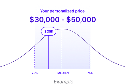
How much does Precisely cost?
About Precisely
Precisely Overview
Precisely is a comprehensive data management platform that offers a wide range of products and solutions for data integration, automation, assurance, optimization, verification, analysis, and enrichment. It is designed to enhance data integrity, improve data governance, optimize IT operations, and facilitate customer engagement, thereby enabling better decision-making based on high-quality data.
Precisely's 8 Products

AES/400 offers self-service Emergency keys within License Keys for user accounts with active entitlements
Context is a comprehensive suite of measured and modeled analytics within specific geographic boundaries, offering a unique view of the makeup, quality, and influence of an area.
Neighborhood Boundaries refers to accurately defined geographic limits of a neighborhood, often based on official maps, zoning regulations, historical records, or local consensus.
The Postcode and Administrative Boundaries (GfK) dataset provides detailed geographical boundaries for postal codes and administrative regions. This dataset is commonly used for spatial analysis, market research, logistics, and demographic studies.
With comprehensive data integrity capabilities, Precisely APIs cut development costs and accelerate time to market by providing reliable performance, seamless data integration, and enterprise-grade scalability.

The modular, interoperable Precisely Data Integrity Suite contains everything you need to deliver accurate, consistent, contextual data to your business – wherever and whenever it’s needed.
School Boundaries offers a comprehensive dataset encompassing U.S. school locations, attendance zones, and district boundaries.
StreetPro Display is a fully attributed vector GIS dataset containing streets, administrative areas, gazetteer, transport, land use, and points of interest data.
About Vendr
How can Vendr help me?
Vendr guarantees a low cost for software, no sales calls needed.

Vendr FAQs
AI Quote Analysis
Upload your quote to check if you’re getting a fair price, under 2 minutes and completely free.